

November 16 was National GIS Day! It’s a day for geography awareness inspired by consumer advocate Ralph Nader and started in November 1999 during Geography Awareness Week. It’s intended to promote consciousness and advances in a technology that has literally reshaped the way industries relate to our complicated planet. There has been a growing use of Geographic Information Systems (GIS) since that time, but the biggest advancements have come in the last decade.
Industry leaders who employ the latest technologies to access and use spatial data look to World GIS Day as an opportunity to share what they have learned. It’s also a fantastic way to introduce new employees to the technologies on different platforms and, more often, in real time.
“With GIS, we are able to use what are called Geoprocessing tools and have the ability to string together multiple sets of tools. This streamlines competitive tasks and allows us to be more efficient with our time,” said Jeremy Dew, a GIS analyst for Coterra in our Permian Basin Unit.
“In our operations-oriented map applications, we are starting to promote the idea of using GIS as a two-way communication tool,” offered Harold Lee, supervisor of GIS in our Marcellus Business Unit. “I personally believe GIS mapping is the new global language. Energy operators, together with consultants and government agencies that support the industry are getting increasingly savvy with their GIS capabilities.”
8 Fun Facts About the Development of GIS
1) The concept of GIS was first professionally employed by physicians in Paris and London to map Cholera outbreaks during the early part of the early 1800s. In 2014, GIS was used to help map and stop the spread of Ebola.
2) Before computers, GIS mapping was done by using see-through paper to create map overlays and layers. Paper maps are still in use today, but are slowly being replaced by interactive pdfs.
3) Wilbur Wright took the first aerial photos in 1909, opening a new chapter in GIS history. Unfortunately, its most common application was for military operations. It wasn’t until 1959 that the United States would produce the first satellite image, which could be used for more accurate weather forecasting.
4) Computers first came into play in 1963 to create a spatial inventory of Canada’s often inaccessible topography. In 1969, Harvard lab tech Jack Dangermond and his wife, Laura, founded the Environmental Systems Research Institute, and Esri remains one of the biggest innovators and suppliers of GIS software. Nonetheless, its implications couldn’t be realized any faster than the evolution of computers themselves.
5) NASA and USGS adopted the Landsat program in 1972, and the focus of GIS shifted to agriculture, cartography, forestry and geology. It is being used to help engineers and planners in cities like New Orleans and Miami envision and prepare for a future with rising oceans.
6) GIS and satellites can also be used to read the surfaces of distant planets. The Mars rover missions would have been impossible without it, and lessons learned improve the value of GIS here on Earth.
7) Retail corporations use GIS to determine where to place their next store, similar to the ways that those involved in the natural gas and oil industry utilize it for the location of new wells and pipelines.
8) GIS technologies have become a staple for 911 and emergency management centers, making real-time data available about the location of incidents, resources (like water), and personnel. Natural gas and oil operators have benefited from similar advancements.
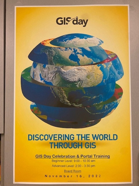
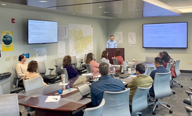
The Marcellus Business Unit hosted two rounds of GIS Day celebration and training at the Pittsburgh office on Nov. 16. The morning session, Harold noted, was tailored to beginners who had little or no experience using Coterra’s GIS portal. The afternoon session included advance-level training and a deeper look at the technical advances in GIS. “We are really excited about this opportunity to teach and inspire others to become excited about geography and consider how GIS could assist them,” he stated.